After watching it from afar we drove closer to the base and got some really great structure, near Canton, Oklahoma. We drove under the anvil and saw some very well developed mammatus cloud...

And the rain free base (updraft of the storm - the bit of brighter coloring under the storm) along with a nicely tilted updraft - indicating a healthy supercell structure. You can also see the back-sheared anvil as well - the grey around the top of left of the picture with the blue sky underneath it...

We were enjoying taking some pics of this isolated cell...

We also got a very beautiful sunset through the edge of the storm under a corn field as well...


and this was a little later...

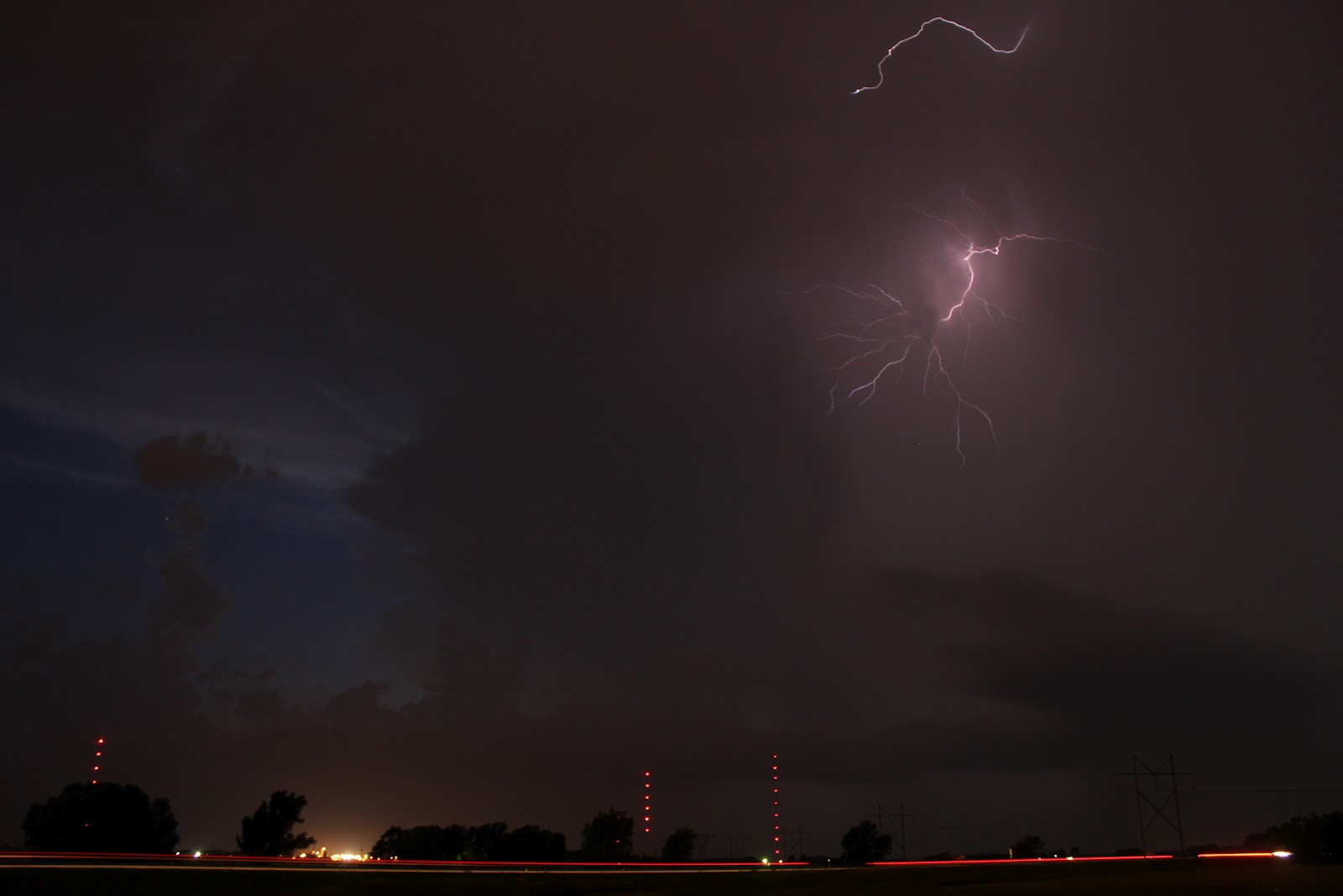
After dark we were treated to a nice lightning show for about half an hour before the storm completely collapsed. In fact, it was probably the fastest I have seen a storm go from a healthy looking supercell (in person and on radar) to almost nothing at all. So we were very lucky to be on it from start to finish. Here are a few lightning shots from just north-west of Wichita, KS.


Today we are heading southwards to play around with the remnants of this cold front that looks like it will be draped across southern Oklahoma and northern Texas along the Red River. Looks like storm may not break the cap/inversion until close to dark, so it may end up being another lightning day - but at least there will be something to chase.
Looking forward to the rest of our chase days, the tornado risk seems to be pretty low - however there appears there will be the risk of some thunderstorms/supercells on many of the days, so fingers crossed we will still see some nice storm structure.
No comments:
Post a Comment